
Lower Makefield ZIP Code Directory Coverage
The government-source evidence reviewed supports 19067 as the Township's mailing ZIP. The Township office, Yardley-Makefield Branch, Township polling places, and the Lower Makefield properties in the 2025 Historic Resource Survey use that ZIP. The postal label is Yardley, but Yardley Borough and Lower Makefield Township remain distinct governments. The sources did not establish a Township-wide postal-boundary map, so this ZIP code directory treats 19067 as the supported municipal result and keeps address-level USPS verification as the final delivery check.
| ZIP code | Lower Makefield evidence | Postal label | Record-search note |
|---|---|---|---|
| 19067 | Township office, library, polling places, and Historic Resource Survey properties | Yardley | Supported Township mailing ZIP; verify a specific delivery address with USPS |
| 18940 | A Newtown-based consultant address appeared in survey review, not a Township resource | Newtown | Do not describe it as a Lower Makefield ZIP without an address-level result |
| 18977 | No Lower Makefield survey property result was located | Not located in official Township evidence | Not a documented Township-serving ZIP in this research |
No official source reviewed identified a PO-box-only ZIP, a unique institutional ZIP, a ZIP split, a realignment year, or ZIP-specific registration or population totals for Lower Makefield. Leaving those unsupported categories blank is more accurate than borrowing figures from nearby postal areas.
Verify Lower Makefield ZIP Codes
The USPS ZIP Code Lookup is the delivery check. Its By Address form uses a street address with city/state or ZIP. A city/state search returns matching ZIPs, while a ZIP search returns USPS-recognized city names. USPS cautions that its ZIP and city output does not prove that a particular person or organization is at the location. It confirms postal addressing, not parcel ownership, municipal jurisdiction, or voter information.
The USPS lookup image below shows the postal search route used after a Lower Makefield ZIP directory result needs address-level confirmation.
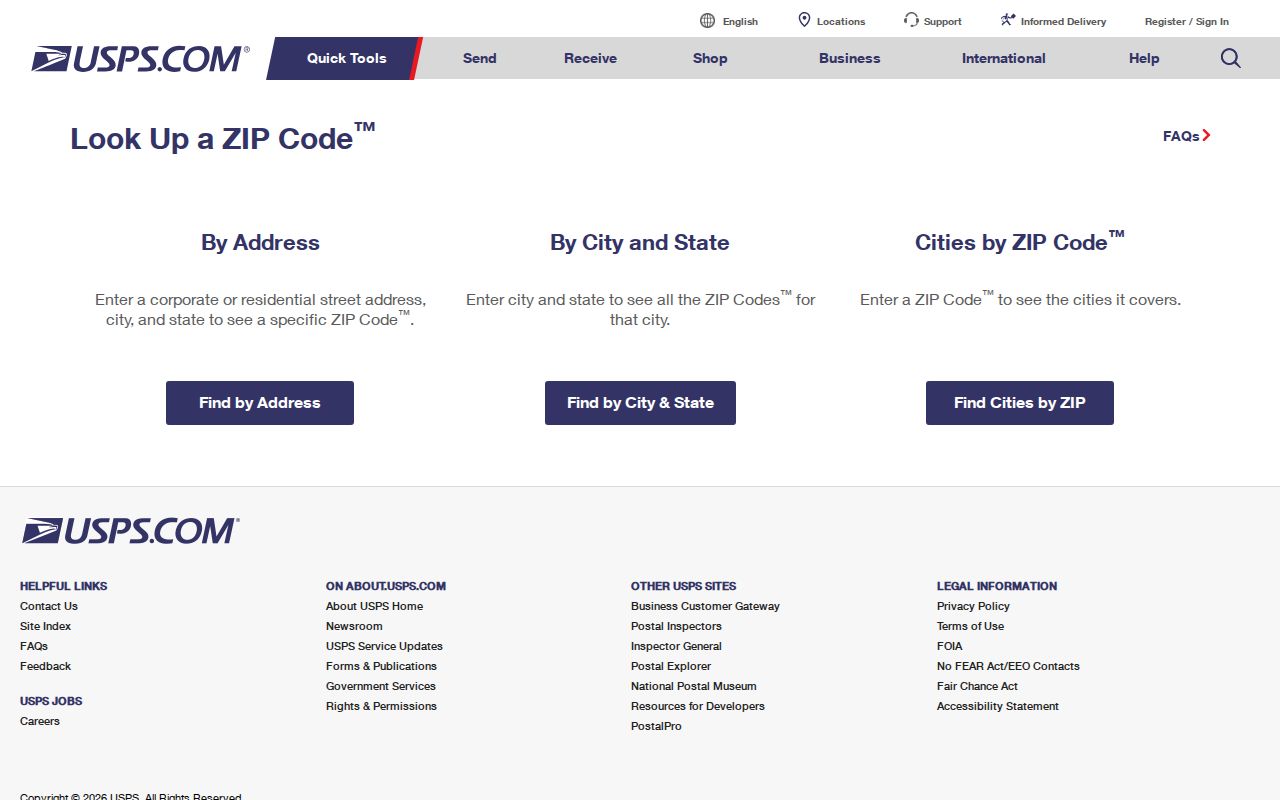
Use the USPS output for mailing. For civic facts, retain the county parcel municipality field and the applicable Township record instead of substituting the postal city label.
Note: A postal city name can appear on an address without changing the municipality responsible for assessment, planning, voting, or tax records.
Lower Makefield ZIP Tax Fields
The inspected Bucks County Tax Information search supplies the verified ZIP-capable county form. Its controls include parcel number, location address, school district, municipality, name, mailing address, city, and ZIP. Use ZIP as a narrowing field beside a parcel, name, or location-address criterion, then select Lower Makefield Twp to avoid treating a countywide postal match as a Township result. The form is a delinquent-tax/claim resource, so it can provide a parcel lead but is not a complete roll of parcels or people.
| Search field | Postal-directory use | Format or boundary |
|---|---|---|
| ZIP | Narrow a claim inquiry beside a parcel, name, or address criterion | It is a filter, not a municipal-boundary control |
| Municipality | Constrain the result to Lower Makefield Twp | Use beside postal criteria when possible |
| Location Address | Verify one physical address | Enter house number and street only |
| Parcel Number | Reconnect a map feature to the claim record | Retain every dash in the parcel number |
| Mailing Address and City | Compare correspondence fields | They can differ from the parcel's situs location |
The Tax Information search is pictured because its ZIP, municipality, location, and mailing fields make the postal-versus-parcel distinction visible in one Lower Makefield postal-directory workflow.
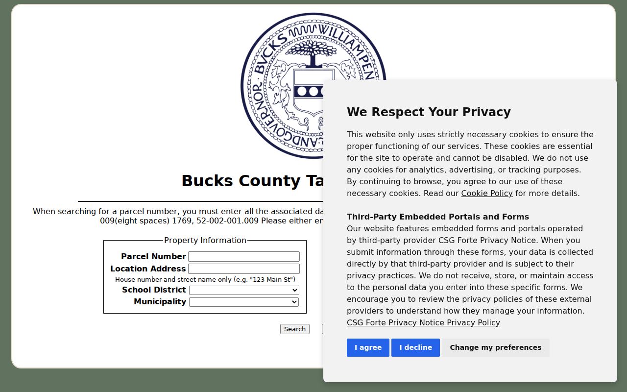
A ZIP result should lead to a parcel check, not to a conclusion about all addresses or people using that ZIP. The form's separate fields are a reminder that mailing and situs data serve different roles.
Lower Makefield ZIP Assessment Checks
The Bucks County Board of Assessment owner-search route is the county verification layer after a ZIP or parcel search has selected a property. The public page was in a disclaimer or maintenance condition during this research, so its live search fields and result layout are not asserted. The Board says public data are uploaded weekly, while ownership changes may take longer than normal to appear. A postal result should therefore be compared with both the assessment context and, when appropriate, the recorded transfer.
The official assessment owner-search entry screen below is the reviewed county route for checking a selected Lower Makefield parcel.
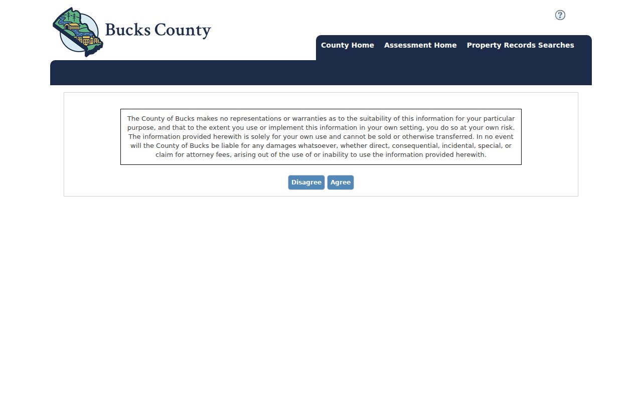
Use an assessment result as current property-card context, not as proof of a mailing label, municipal boundary, or every person associated with the address.
Search a Lower Makefield ZIP
A ZIP-shaped search is a two-stage process. Postal verification comes first. County address and parcel records come second. The GIS viewer is address- and parcel-driven, not ZIP-driven, and the Pennsylvania registration-status route is an identity/registration check rather than a ZIP browser. A careful Lower Makefield postal-directory search therefore narrows the geography before it tests a property record.
- Use USPS to confirm the intended delivery ZIP for the specific address.
- Use ZIP in the Tax Claim form beside a parcel, name, or location-address criterion, then select Lower Makefield Twp.
- Open the selected parcel in the Bucks County Parcel & Floodplain Viewer and check the mapped address and municipality.
- Use the Board of Assessment owner-search route for current property-card context, allowing for the County's stated ownership-update lag.
- If the issue is a recorded transfer, use the owner and book/page clue in the Recorder's party index, which is not an address or ZIP index.
Once a ZIP has narrowed the search to a street, the Lower Makefield street directory provides the fuller parcel-to-deed workflow. A ZIP does not replace that address-level verification.
Lower Makefield ZIP Geography
Postal geography and civil geography answer different questions. Lower Makefield lies in Bucks County and borders Falls Township, Morrisville Borough, Middletown and Newtown townships, Upper Makefield Township, and Yardley Borough. Its Yardley postal identity is useful for mail and for finding nearby history sources, but it does not collapse those separate governments. The Township covers roughly 18.3 square miles and includes large estates, residential developments, preserved open space, and farms, which makes parcel and municipality fields more reliable than a single postal label.
The County GIS viewer supplies municipal boundaries, zoning, parcel geometry, flood hazards, and other mapped context. Use those layers for jurisdiction and use USPS for delivery. Neither source establishes a social neighborhood or a complete resident list.
Lower Makefield Address Labels Compared
Three labels often appear in a Lower Makefield property search. A situs address is the physical location used to locate a parcel. A mailing address is the correspondence address an owner gives the tax system. A legal description is the lot, block, plan, or metes-and-bounds wording in a deed. Tax Claim exposes location and mailing fields, the GIS viewer maps the parcel, and Recorder instruments rely on parties and legal/property description. Comparing all three helps prevent a postal-directory result from being read as a title finding.
- ZIP
- A Postal Service routing code used to direct mail to an area or delivery unit.
- ZIP+4
- An added four-digit delivery detail that narrows routing beyond the five-digit ZIP.
- PO-box ZIP
- A ZIP assigned to post-office boxes rather than ordinary street delivery; none was documented for Lower Makefield in the reviewed sources.
- Unique ZIP
- A ZIP assigned to one large organization; no such Lower Makefield ZIP was identified in this research.
- Carrier route
- A Postal Service delivery sequence, not a municipal boundary or a resident roster.
Historic Names Behind Lower Makefield ZIPs
Historical records may use a community label that predates the current postal framing. The Township Historical Commission traces the Edgewood area through Stradlington, Biles Corner, Summerville, Edgewood, and Woodside. Summerville appears in 1830 deeds and the 1848 Kennedy Map. Woodside appears on 1905-11 USGS mapping and continued alongside Edgewood into the 1970s. These names are useful search terms for old maps, deeds, newspapers, and directories, but they are not a documented ZIP change or a street-number conversion.
The distinction is especially useful near Yardley. A postal label can guide a library or newspaper search while the county parcel and Township fields keep the record in its correct government context.
Lower Makefield Postal Directory Limits
The postal directory can confirm supported coverage and help narrow a defined county search. It cannot prove that every address in a ZIP lies in one municipality, identify every parcel in that ZIP, or establish who is associated with an address. No published Lower Makefield address-assignment workflow or municipal postal-boundary roster was located in the research. When postal and civic fields conflict, retain USPS for the delivery result and use the county parcel municipality field for the civic result.
Use care with address records. Postal and parcel information should support a legitimate personal, property, or family-history question. Never use it to stalk, harass, intimidate, or harm anyone.
Lower Makefield Historical Property Context
The Lower Makefield Historical Commission provides the local context that a postal directory cannot supply. In September 2025, the Township finalized its Historic Resource Survey. Its methods bring together tax, insurance, deeds, atlases, maps, aerials, newspapers, mechanics liens, photographs, and subdivision plans, and it evaluated 330 properties. The resulting material supports property-history research, not a current ownership or resident roster.
The Historical Commission page shown below is a useful starting point when an address has an older place name or a farm-era, Edgewood, or survey-history question.
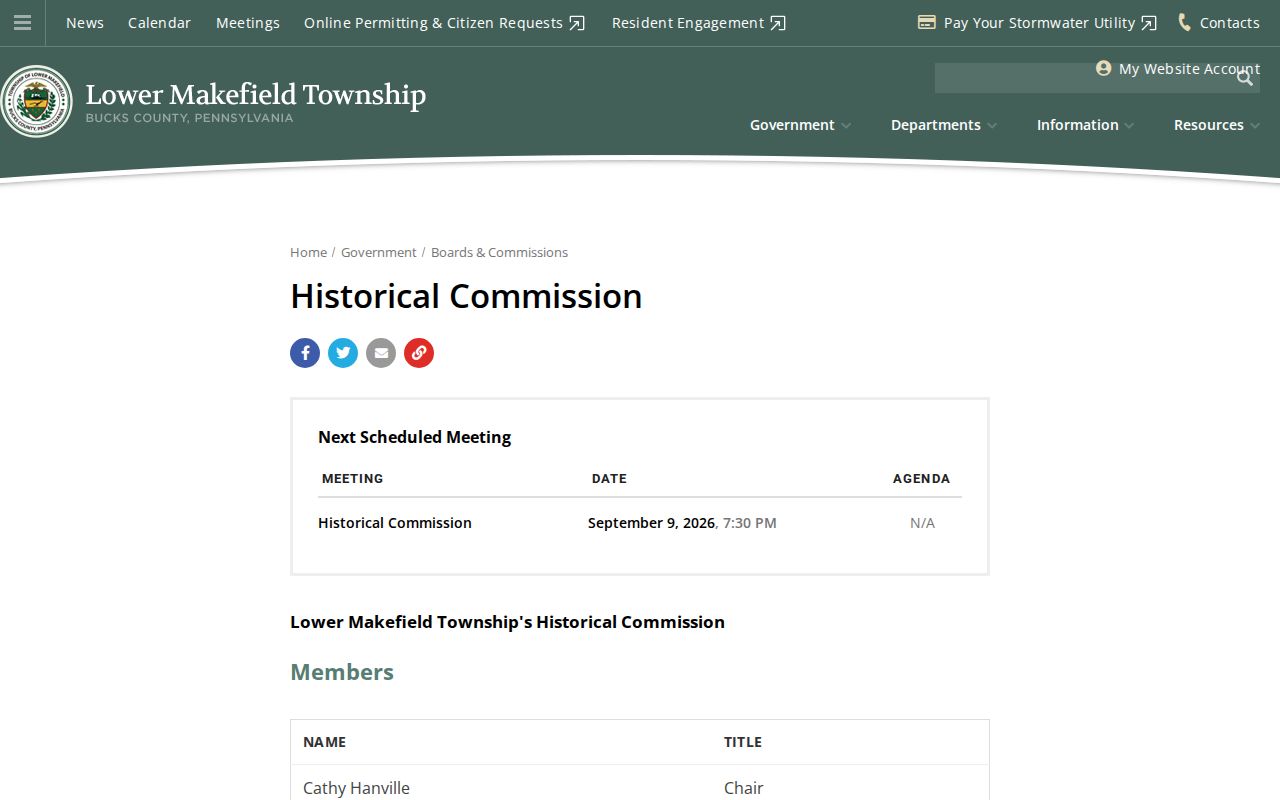
For many later-built addresses, permit material from 1939 onward, county parcel data, recorded deeds, and survey documentation may be more useful than an early directory. Older areas can require both modern parcel identifiers and historical name variants.
Note: The 2025 survey expands local preservation context, but it does not establish a complete postal, title, or resident record for every property.