
Lower Makefield Neighbors by Parcel
The useful public trail around a Lower Makefield Township address is parcel-focused. The County GIS viewer maps the parcel and surrounding features. Assessment or tax records can provide owner-of-record and property context for a selected parcel. The Recorder can then confirm a recorded title trail when a party name and year are known. The Township may hold a defined permit, planning, or development file. Each source has a different purpose, and none is a complete list of neighbors or household members.
| Block source | What it shows around an address | Access and limit |
|---|---|---|
| Bucks Parcel & Floodplain Viewer | Parcel geometry, site address, owner fields, values, land use, and nearby mapped parcels | Public map, limited to parcel and recorded map attributes. |
| Bucks Tax Claim inquiry | Parcel, location address, owner-name, mailing, municipality, and ZIP criteria | Delinquent-tax/claim resource, not a universal owner or resident roll. |
| Recorder party index and deed | Recorded title parties and the instrument's legal-description trail | Names and years are the key, not a direct street browser. |
| Township development file route | Defined permit, plan, inspection, or subdivision context | Staff or Right-to-Know route, with no verified block browser. |
| Neighborhood contact groups | Participation and maintenance context for a named development | Not a public member roster or address list. |
The County GIS feature service exposes fields such as parcel number, address, municipality, owner fields, care-of, value, land-use code, and modification date. It does not provide a verified owner mailing-address field in that feature response. Most importantly, owner of record is not the same as every person who lives at the property.
Lower Makefield Neighbor Buffer Search
The Bucks County Parcel & Floodplain Viewer is the practical mapping surface for a small Lower Makefield Township area. Its global search includes parcel-number, zoning, and street-address routes. After selecting the target parcel, the Query tool offers Search by Parcel Buffer. The tool uses drawing controls and begins with a documented 100-foot buffer. Its results can be exported, while the map also provides identify pop-ups, an attribute table, measure, drawing, printing, a Lower Makefield bookmark, layers, and municipal-boundary context.
A buffer is a research shortlist, not a declaration that all selected parcels form one neighborhood. It may cross a street, waterway, or municipal line. Use the displayed parcel boundary first. Then inspect each selected parcel separately. The same viewer also shows zoning, flood hazards, schools and districts, wetlands, soils, buildings, imagery, and streams, which can explain map context without identifying occupants.
Note: The default 100-foot buffer is a viewer setting, not an official social-neighborhood boundary or proof of a relationship among owners.
Map a Lower Makefield Neighbor Block
A repeatable Lower Makefield Township neighbors workflow keeps the address, parcel, and title questions in order. It is narrower than a full-street project. The immediate goal is to understand adjacent mapped properties and to verify a selected ownership record without assuming that title proves occupancy. Record the date of each result because Assessment data can lag a later recorded transfer, and a newly recorded document may not be ready in every system at the same moment.
- Find the known street address or parcel number in the County viewer and open the target feature's attributes.
- Use the parcel-buffer tool or visible adjoining boundaries to identify surrounding mapped parcels, then note each parcel number and site address.
- Check a selected parcel through the assessment or tax route for owner-of-record and current property context, allowing for update lag.
- When title history matters, carry the party name, parcel clue, and approximate year to the Recorder's Direct Party and Indirect Party index.
For a longer sequence along a named road, use the Lower Makefield Township by-street directory, which follows the address-to-parcel-to-deed chain rather than the immediate block.
Lower Makefield Neighbor Tax Clues
The County Tax Claim form is the verified address-facing tool, but its purpose sets its limits. It accepts parcel number, location address, school district, municipality, owner name, mailing address, city, and ZIP. A search needs a parcel, name, or address criterion. Enter all dashes in a parcel number. For a location-address search, use a house number and street. The form accepts an owner entry in last-name-first order, such as the examples supplied by the County. Choose Lower Makefield Twp when municipality context helps avoid a same-street collision elsewhere in Bucks County.
The Bucks County Tax Claim search shows the address, name, parcel, municipality, and ZIP routes.
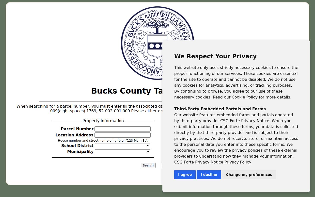
The form is helpful for narrowing a parcel trail, but a Tax Claim hit does not establish that a person currently resides at the nearby address.
Keep the location address distinct from the mailing address. The first identifies the parcel's physical site. The second is where an owner asked to receive correspondence. Neither field is a roster of co-residents, utility users, or vehicle registrants. Use the date and the source's stated function when describing any result.
Note: A Tax Claim result is a dated claim record, so it should be checked against assessment and Recorder information.
Lower Makefield Neighbor Watch Contacts
Lower Makefield Township has community contact channels, although the research did not find a public household directory for them. The Township describes the Lower Makefield Township Neighborhood Watch Association as smaller watches connected to developments or locations. Coordinators meet with police officials, and subdivisions may organize their own watches. Makefield Lakes Community Association identifies the Makefield Lakes and Chester Meadow community for maintenance and events. These are useful contact and participation pointers, not sources for inferring membership or residence.
Lower Makefield Township Neighborhood Watch
Township-supported development and location watches led by coordinators who work with police. The official material describes participation, not a member list.
Makefield Lakes Community Association
A public community contact layer for Makefield Lakes and Chester Meadow maintenance and events. No public roster was verified.
Lower Makefield's Neighborhood Watch information explains the development-level coordinator structure.
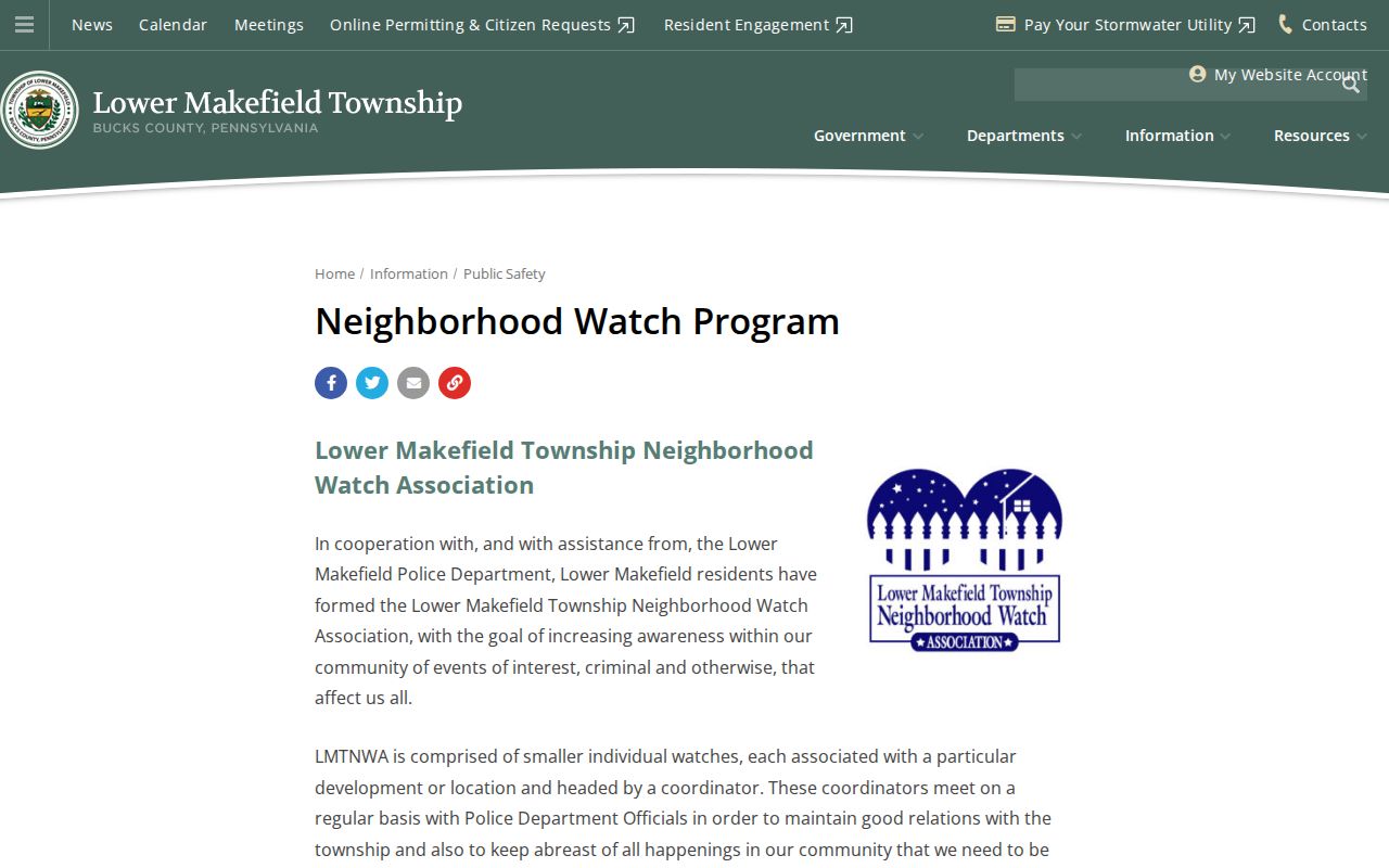
The program provides a lawful way to ask about local participation and safety contacts without trying to reconstruct a private block roster from property records.
Lower Makefield Neighbor Street Lists
Pennsylvania has an address-oriented voter route, but it is a written statutory request, not a live map layer. The Department of State voter-list request form describes a Bucks County Street List with name, residential address, mailing address, party, and active or inactive status. It requires a selected list type, county selection, requester information, identity-document details, and a signed permitted-use affirmation. Supplied data may not be published on the internet. The status tool is separate and is designed to check registration rather than browse a block.
| Voter-list option | Documented purpose and boundary |
|---|---|
| Street List | Address-angle list with listed registration fields, available through the request process. |
| Walking List | Street List without the mailing-address field. |
| Public Information List | Defined public fields through the state form, not a visual parcel layer. |
| Full Voter Export | Broader defined fields under the form's access rules and certification. |
Registration and active or inactive labels are election-administration data. They do not establish a household's full composition. The statutes and regulations also exclude protected information, and Address Confidentiality Program participants may use a substitute address. Never infer ballot choices from a voter-list result.
Note: Written voter-list access has its own certification and disclosure limits, even when a property record is publicly visible.
Lower Makefield Parcel Owners, Not Households
One common error is to treat a parcel map or tax record as a household roster. County GIS and tax fields can identify mapped land and an owner of record. They cannot identify every renter, co-resident, delivery customer, student, patient, or protected voter at that location. The County's tax interface keeps location and mailing-address fields separate, which is a useful warning against converting correspondence data into a claim about current residency.
| Official parcel record | Commercial neighbor-listing category |
|---|---|
| Shows a dated mapped or recorded fact from a named custodian. | May combine older public and commercial data with unclear source dates. |
| Can be checked against the assessment office, Recorder, or Township file. | Still needs confirmation with the original custodian. |
| Does not promise household membership. | Does not cure gaps in official parcel or privacy records. |
For an apparent ownership change, compare the assessment update date, the recording date, the parcel number, and the deed's book-and-page or instrument reference. Bucks County reports that Recorder documents are commonly available through LANDEX within 24 to 48 business hours and then ordinarily undergo a verification stage of about three weeks. Those timing notes are operational guidance, not a guarantee for any parcel.
Privacy for Lower Makefield Neighbor Searches
Privacy boundaries remain in force on every Lower Makefield Township block. The Pennsylvania Address Confidentiality Program protects eligible participants through a substitute-address system. Motor-vehicle personal information is separately governed by the federal Driver's Privacy Protection Act. Utility accounts, private delivery information, school records, and unrecorded household membership are not opened by a parcel buffer. A watch program or association cannot be used as a shortcut to private membership information.
Lawful use. Use Lower Makefield Township neighbors records for lawful property curiosity, civic context, family history, or a community contact route. Pennsylvania's stalking law, 18 Pa.C.S. § 2709.1, prohibits repeated conduct intended to cause fear or substantial emotional distress.
If a property, court, or government record appears wrong, contact the office that keeps it with the parcel, document, or file context. The Township Right-to-Know route is for existing Township records, not a request to compile a list of residents. A map result can be useful, but a careful search stops at the public record boundary.