
Trace a Lower Makefield Street Directory
A street result begins with a location, not a household roster. Use the County Tax Claim inquiry or the County map to establish the parcel, then compare the owner-of-record detail with assessment material. From there, the book, page, or document clue can lead to the Recorder's party index. The Township file is a separate stop when the question concerns construction, a site plan, an inspection, or code history. This order matters because the Tax Claim inquiry concerns delinquent tax claims, and the Recorder is indexed by parties rather than street location.
- Enter the house number and street in the Tax Claim Location Address field, then select Lower Makefield Twp when needed to narrow a countywide result.
- Keep the parcel number and use the Bucks County Parcel & Floodplain Viewer to inspect the mapped feature and its attributes.
- Check the Board of Assessment layer for current property-card context, allowing for the County's stated upload and ownership-update lag.
- Carry the owner name and book/page clue to the Recorder's Direct Party or Indirect Party index, then read the deed or request a copy.
- For a permitted street list, use the Pennsylvania request process. For older address evidence, use the historical directory collections rather than treating a current record as proof of the past.
Each step answers a narrower question. The parcel connects a physical place to county records; the deed connects recorded title parties through time. Neither step identifies every person who may be associated with the address.
Lower Makefield Tax Claim Street Fields
The Bucks County Tax Information search is the inspected address-facing form. It accepts parcel number, location address, school district, municipality, name, mailing address, city, and ZIP. For a location-address search, enter the house number and street only. The page accepts an owner name with the surname first, and a parcel number must retain its dashes. A result is a claim-record lead, not a complete owner roll or a statement that a listed person lives at the parcel.
| Tax Claim field | Best street use | Important limit |
|---|---|---|
| Location Address | Start with house number and street | Use with municipality to reduce same-street matches |
| Parcel Number | Reconnect a map result to the form | All dashes are required |
| Name | Check an owner-name lead | Last name first is accepted, but ownership is not occupancy |
| Mailing Address and ZIP | Distinguish correspondence from parcel location | Neither field sets municipal jurisdiction |
The official Tax Information search is shown below because its separate location, mailing, municipality, and ZIP controls are useful when a Lower Makefield street directory search needs a precise starting point.
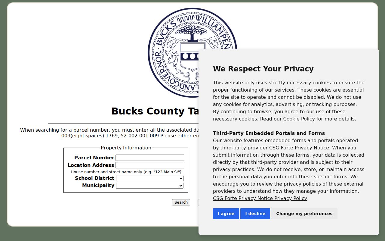
Those fields help keep a postal mailing detail from being confused with the physical parcel. A later deed or assessment check can resolve an apparent mismatch.
Note: Tax Claim records concern delinquent real-estate tax claims and should be read as an address lead, not a present-day household list.
Lower Makefield Assessment Owner Search
The Bucks County Board of Assessment owner-search route is the current property-card verification layer after an address or parcel lead. During this research, its public owner-search page displayed a disclaimer or maintenance condition, so no live form fields or result layout are assumed here. The Board says public data are uploaded weekly and warns that ownership updates can take longer than normal. Date an assessment result, then compare it with the Recorder when a later transfer may matter.
The official Assessment owner-search page below records the inspected entry point for a Lower Makefield street directory check.
The screen is an owner-of-record verification route, not a substitute for the deed that documents a recorded transfer. When the interface is unavailable, the Board's counter or email channel remains the appropriate county fallback.
Map Lower Makefield Parcels by Street
The Bucks County Parcel & Floodplain Viewer makes the street side of the record chain visible. It has address and parcel-number search sources, a Lower Makefield bookmark, identify pop-ups, an attribute table, layer tools, and mapping layers for parcels, municipal boundaries, zoning, flood hazards, wetlands, soils, buildings, imagery, and streams. Its parcel query uses PARCEL_NUM. A parcel feature can show the address, municipality, owner fields, values, land-use code, and mapping details, but the service did not expose an owner mailing-address field in the inspected sample.
For a segment rather than one parcel, use Search by Parcel Buffer after selecting the feature. The viewer's default buffer is 100 feet, and the result set can be selected or exported. That is a useful street-by-street parcel exercise. It does not turn a map layer into a list of households or a social-neighborhood finding.
- Parcel
- A county-mapped land unit with an identifying number and assessed property data.
- Situs address
- The physical location used to locate a parcel, distinct from an owner's correspondence address.
- Plat or plan
- A recorded map or subdivision plan that can help tie a deed's legal description to a parcel.
- Criss-cross directory
- A reverse directory arranged by address rather than by personal name, useful only for the edition and years it covers.
Lower Makefield Street Directory Records
Address-keyed records have different keepers and different limits. The County assessment and GIS layers concern parcel and owner-of-record facts. The Recorder preserves the recorded title trail. Community Development holds local building, zoning, code, and land-development material, with a building/property record lead reaching to 1939. A voter Street List is a separate written-request channel with statutory fields and use rules. Pair these sources only after deciding what fact needs confirmation.
| Address record | Custodian | Street-specific value | Access limit |
|---|---|---|---|
| Tax Claim inquiry | Bucks Tax Claim Bureau | Location, parcel, name, mailing, municipality, and ZIP criteria | Claim resource, not a universal current-property roll |
| Assessment/property card | Bucks Board of Assessment Appeals | Assessment, parcel, owner of record, and deed-registry clue | Public data upload can lag a recording |
| Parcel feature | Bucks County GIS | Geometry, address, owner fields, values, and land use | Not an occupant or mailing-address inventory |
| Recorded deed or plan | Bucks County Recorder of Deeds | Recorded parties, legal description, and title chain | Name/year index, paid LANDEX or counter/copy route |
| Permit or planning file | Lower Makefield Community Development | Defined project, plan, inspection, or property history | No verified public historic browse-by-address tool |
| Voter Street List | Pennsylvania election-record process | Defined registered-voter fields by street | Written request, fee, certification, and privacy limits |
When the question shifts from a current street to an older household, the historical editions are better handled through the Lower Makefield city directory collections. Their coverage is discrete, so they should not be used to fill gaps between publication years.
Lower Makefield Deed Names by Address
The Bucks County Property Records page explains the crucial address bridge. Recorder records are organized around named parties, not locations. A seller or borrower is a Direct Party; a buyer or lender is an Indirect Party. Assessment or tax-map work supplies the owner and book/page reference that make the party and approximate-year search practical. The historic index books are divided into periods from 1684 through the present, and the County warns that older names are not simple alphabetic lists.
The official Recorder property-records page below describes LANDEX, the public research area, and the party-index arrangement that a Lower Makefield street directory search needs after the parcel step.
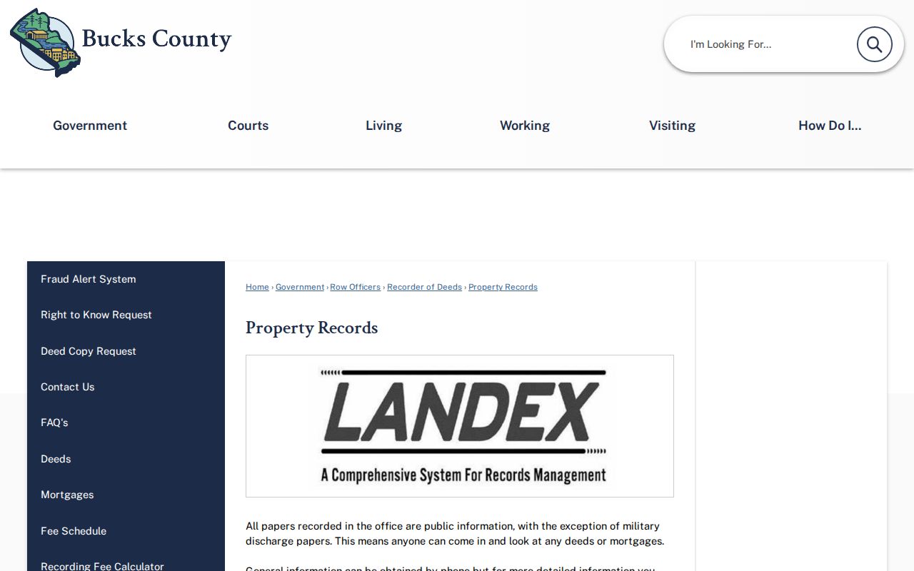
LANDEX is the fee-based online channel, while the public research area and copy-request routes remain alternatives. The Recorder states that records run from 1684 to the present, but an address alone is still not the index key.
Note: A recorded title party establishes a legal-record connection, not a complete list of people who lived at the property.
Lower Makefield Permit Files by Address
Lower Makefield's documents, forms, and permits route is the local channel for a defined project record. Community Development identifies building, zoning, code, subdivision, and land-development material, and its OpenGov route accepts applications and citizen requests. Permit records can lead back to 1939 and may include surveys, site plans, building plans, inspections, or project history. A public issued-permit or code-case browser by address was not verified, so staff contact is the first practical alternative.
If ordinary contact does not provide an existing defined Township file, use the Township's written Right-to-Know process. The Pennsylvania Right-to-Know Law governs access to Township-created records; it does not require the office to create a new answer, reveal protected details, or retrieve records held by a county custodian.
Historic Names in Lower Makefield Streets
Old search terms can matter more than a modern street label. The Township Historical Commission reports that the Edgewood community was called Stradlington, Biles Corner, Summerville, Edgewood, and Woodside at different times. Summerville appears in 1830 deeds and the 1848 Kennedy Map; Woodside appears on 1905-11 USGS mapping and coexisted with Edgewood into the 1970s. Use those names in old maps, newspapers, deeds, and directory material before translating a result to a current parcel.
This is a place-name continuity issue, not evidence of a confirmed townshipwide street-number conversion. The research found no authoritative Lower Makefield street-renumbering program, so a street directory search should retain the old label as a historical variant rather than silently replacing it.
Lower Makefield Street List Requests
Pennsylvania offers a street-by-street election-record route through the voter-list request form, not through an open map browser. The Street List format describes name, residential address, mailing address, political party, and active or inactive status. The request requires the list type, county selection, contact information, identity-document information, and a signed permitted-use affirmation. The form says supplied voter data may not be published on the internet.
The Pennsylvania voter-registration-status route shown below is a different tool. It is for a registrant's own status check, and the live screen was blocked by an interstitial during research, so no unverified field or result detail is claimed here.
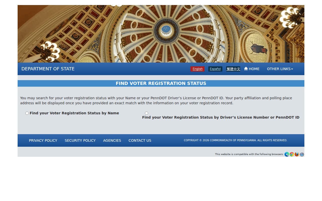
Use the formal written Street List procedure for the defined by-street record. Do not treat the status route as a public browser for an entire Lower Makefield street.
The status tool is meant for a registrant's own registration check. A Street List's administrative status is not proof that a person currently lives at an address, and voter participation history never reveals ballot selections. The Bucks County Board of Elections is the local contact for a Bucks County list or correction question.
Limits of a Lower Makefield Street Directory
County tax and GIS fields identify a parcel and owner-of-record facts. They do not reveal every co-resident, utility customer, driver, delivery recipient, or protected address. A map buffer can cross a road, waterway, or municipal boundary, so it is a research shortlist rather than a declaration that selected parcels share a social connection. The same caution applies to an owner's mailing address, which may be only the address chosen for tax correspondence.
Lawful use. Use Lower Makefield address records for a legitimate personal, property, or family-history purpose. Never use a record to stalk, harass, intimidate, or harm another person.
Lower Makefield Recorder Filing Alerts
On August 21, 2026, Lower Makefield publicized Bucks County's free Recorder Fraud Alert System. The service can monitor a registered name and County materials describe name and tax-parcel monitoring. It sends notice after a document is recorded. It does not prevent a filing, prove title, or replace reading the actual instrument in the Recorder system.